

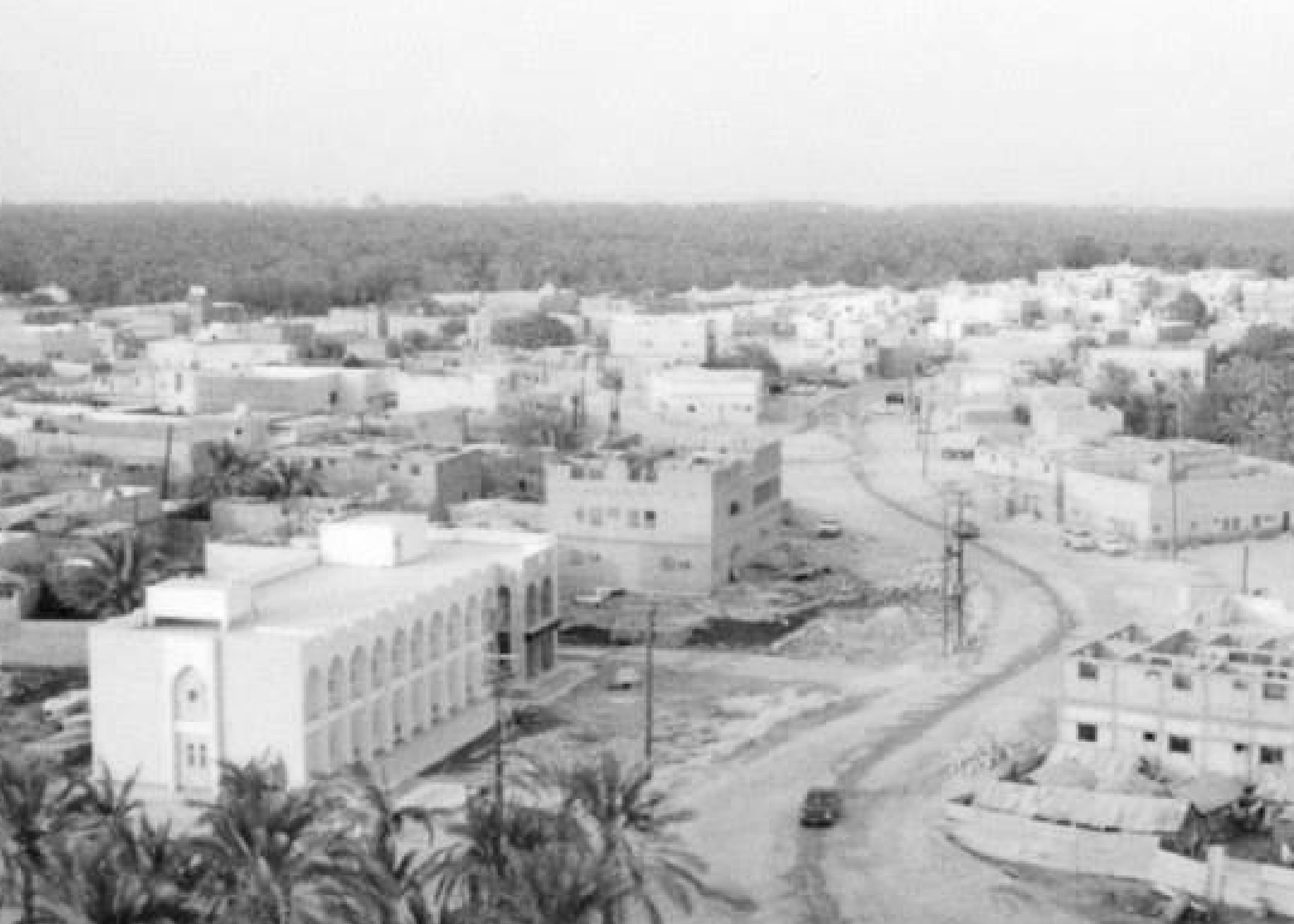
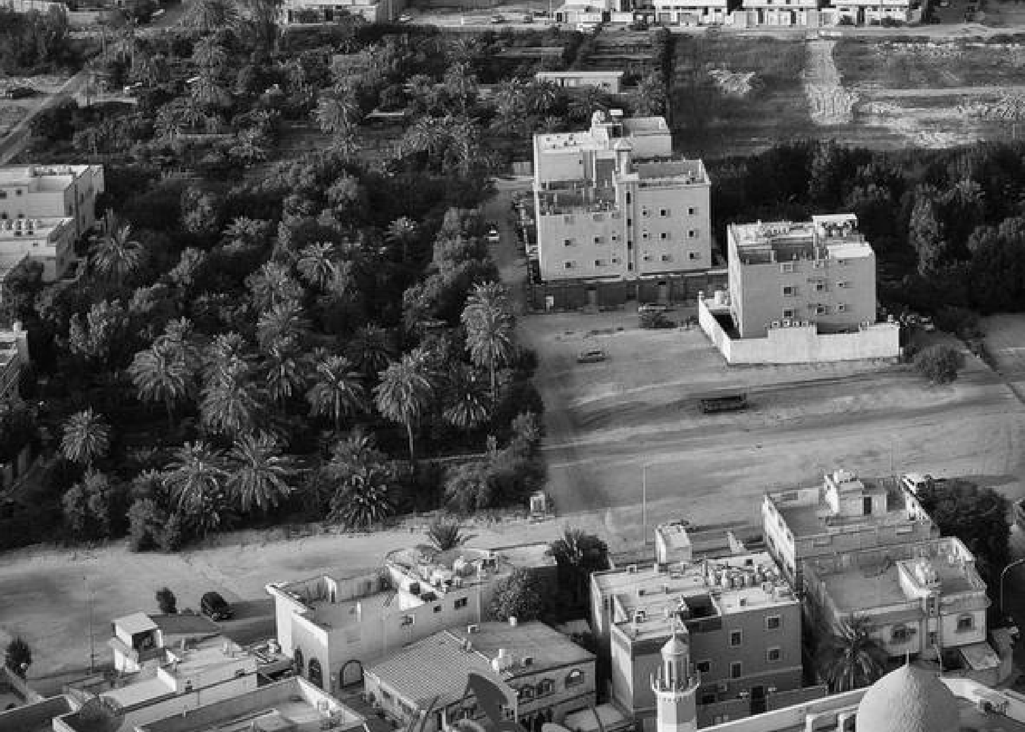
Al-Jaroudiya is located 4 kilometers west of the center of Qatif Governorate and is characterized by gardens and agricultural products. For this reason, its people differ in agriculture and the large variety of crops such as flour, Indian rice, and cowpeas, which are irrigated from underground springs.
It is bordered to the north by Al-Khuwaylidiyah, to the south by Um Al-Hamam, to the east by Halat Mahish, and to the west by Barr Al-Badrani.
It was called Lamloom in the past. Al-Jaroudiya was named after Al-Jaroud bin Al-Numan, and it is said that it is attributed to Al-Jaroud bin Bishr bin Amr Al-Abdi, one of the sons of Abdul Qais tribe who lived in the region at that time.
The history of Al-Jarudiyya dates back to the beginnings of the Islamic era, after Al-Jarudiyya was sent to collect alms in the fourth year of the Hijra, and settled there. But with time, it almost disappeared after the encroachment of the nearby Al-Badrani sands, so its people migrated to nearby oases. Which is the current location of the town.
The townspeople at that time built a wall out of layers of stones and clay to protect them from the attacks, and there are still some traces at the ancient site. The wall was called the "Wall of Saddin" and it has two gates known as the eastern derwaza -door- or "Ihmayd derwaza" and the southeast of the mountain.
Inside the wall, the area is divided into the neighborhoods: the southern, the northern, the Al-Baraha, and the Al-Qasr neighborhood. Its houses were built of clay and stones, and there were other dwellings outside the old town built new on the agricultural area.
In the year 1403 AH, the government demolished the mountain turned it into a residential area, and distributed it to some of the people of Al-Jaroudiya.
And now you can own the Al Jarudiyah collection!